

Our Services
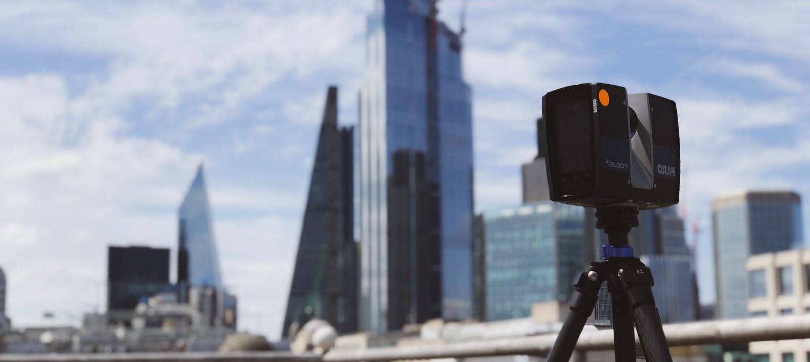
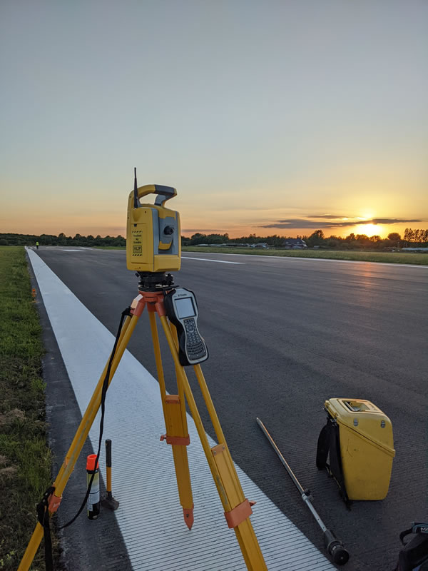
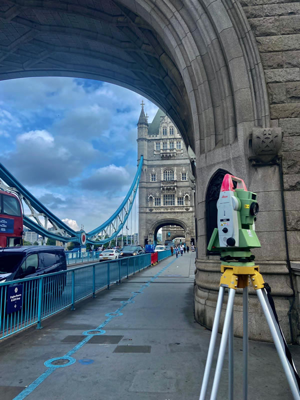
Topographical Surveys
Topographical Survey information at the highest quality standard. All survey work is carried out to your requirements in line with the RICS Specification.
Find out moreSince our survey company’s inception land surveys/topographical surveys have been the fundamental part of our business and we are renowned for our high standards of quality and presentation as we strive to be one of the best surveying companies.
Find out moreMeasured Building Surveys
Floor plans, sections, elevations and structural monitoring for refurbishment and asset management purposes. Experienced staff and attention to detail are the hallmarks of our company.
Find out moreOur survey company provides all measured building surveys in 2D AutoCAD. We can also provide PDFs, paper plots and also 3D deliverables if requested.
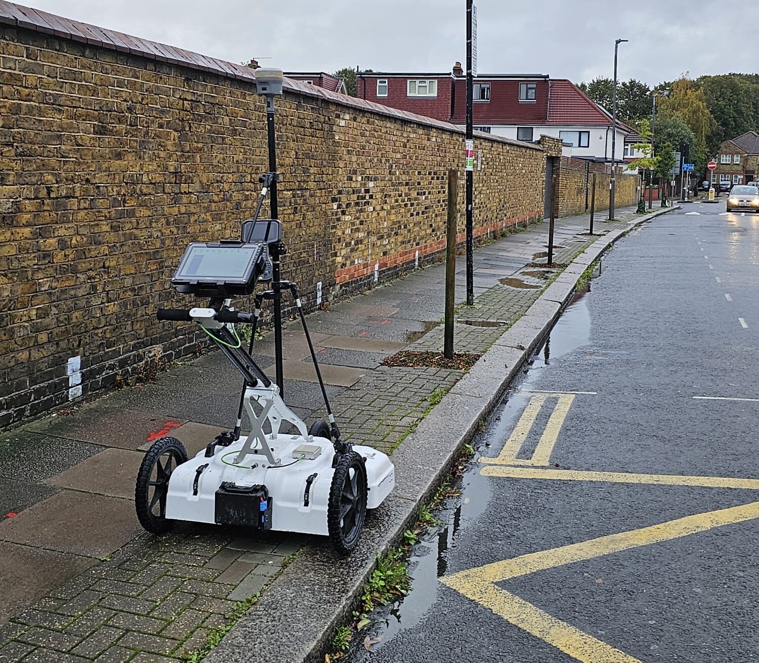
Find out moreUnderground Utility Detection
Adhering to PAS128, we provide accurate and comprehensive utility detection and underground surveying using non-intrusive techniques.
Find out moreOur utility detection surveys use the latest technology to ensure accurate results while prioritising safety and compliance with PAS128 standards.
Find out moreCCTV Drainage Surveys
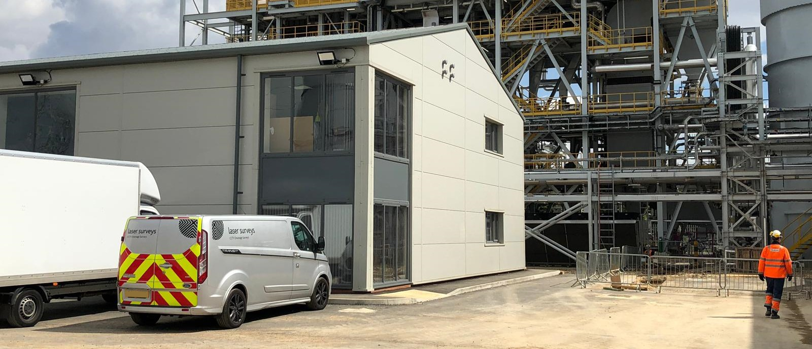
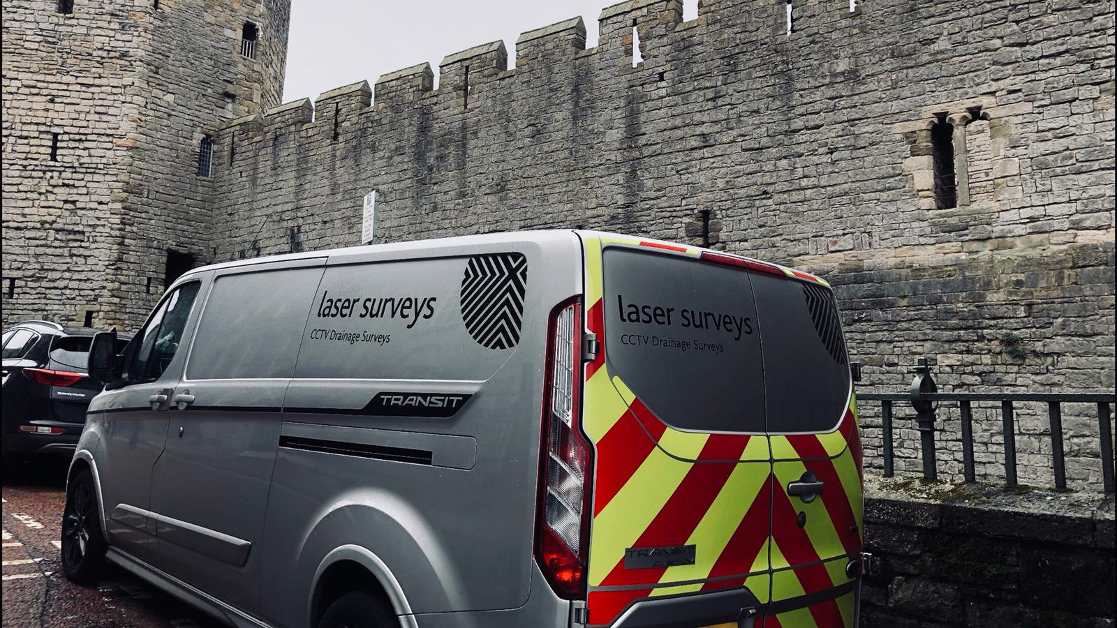
Our survey company’s CCTV drainage condition surveys offer insight and survey-grade precision. Our results include a detailed drainage connectivity plan, cover and invert levels, a WinCan Condition Report, and high-quality video footage.
Find out moreAs one of the best UK surveying companies, our surveys provide comprehensive insights into the condition of your drainage system. All results are carefully coordinated on a survey-grade drainage connectivity plan in CAD & PDF formats.
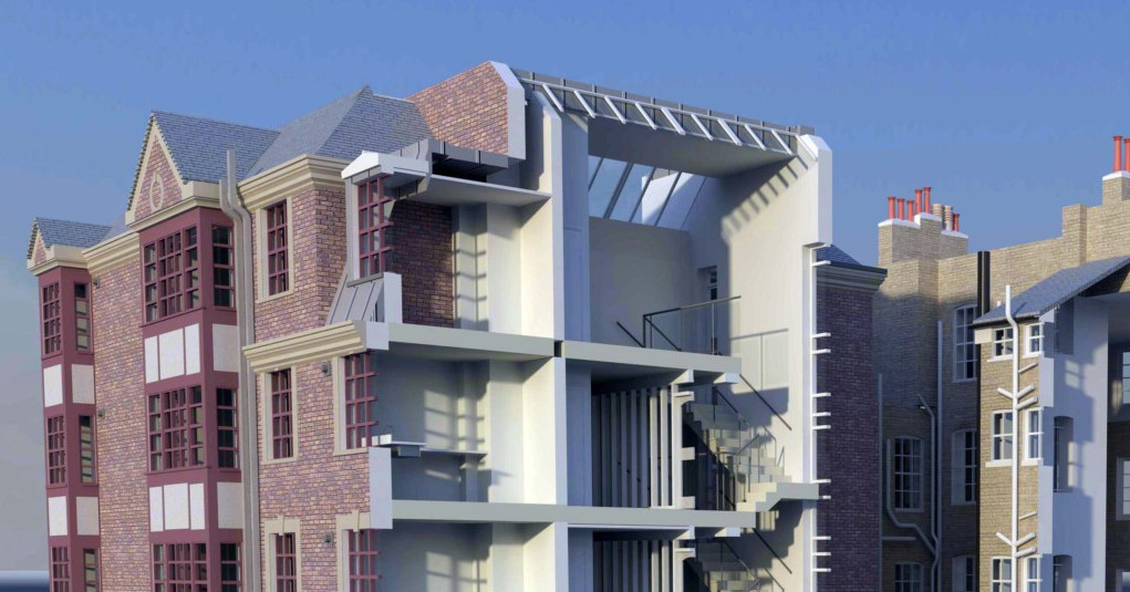
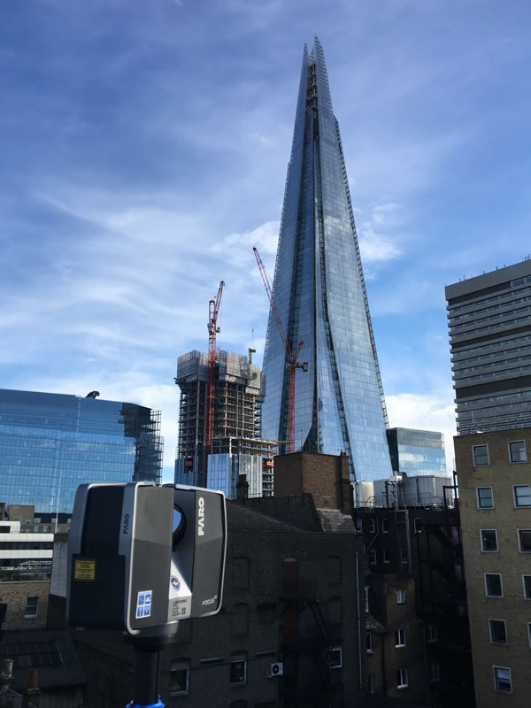
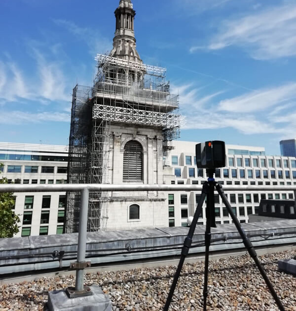
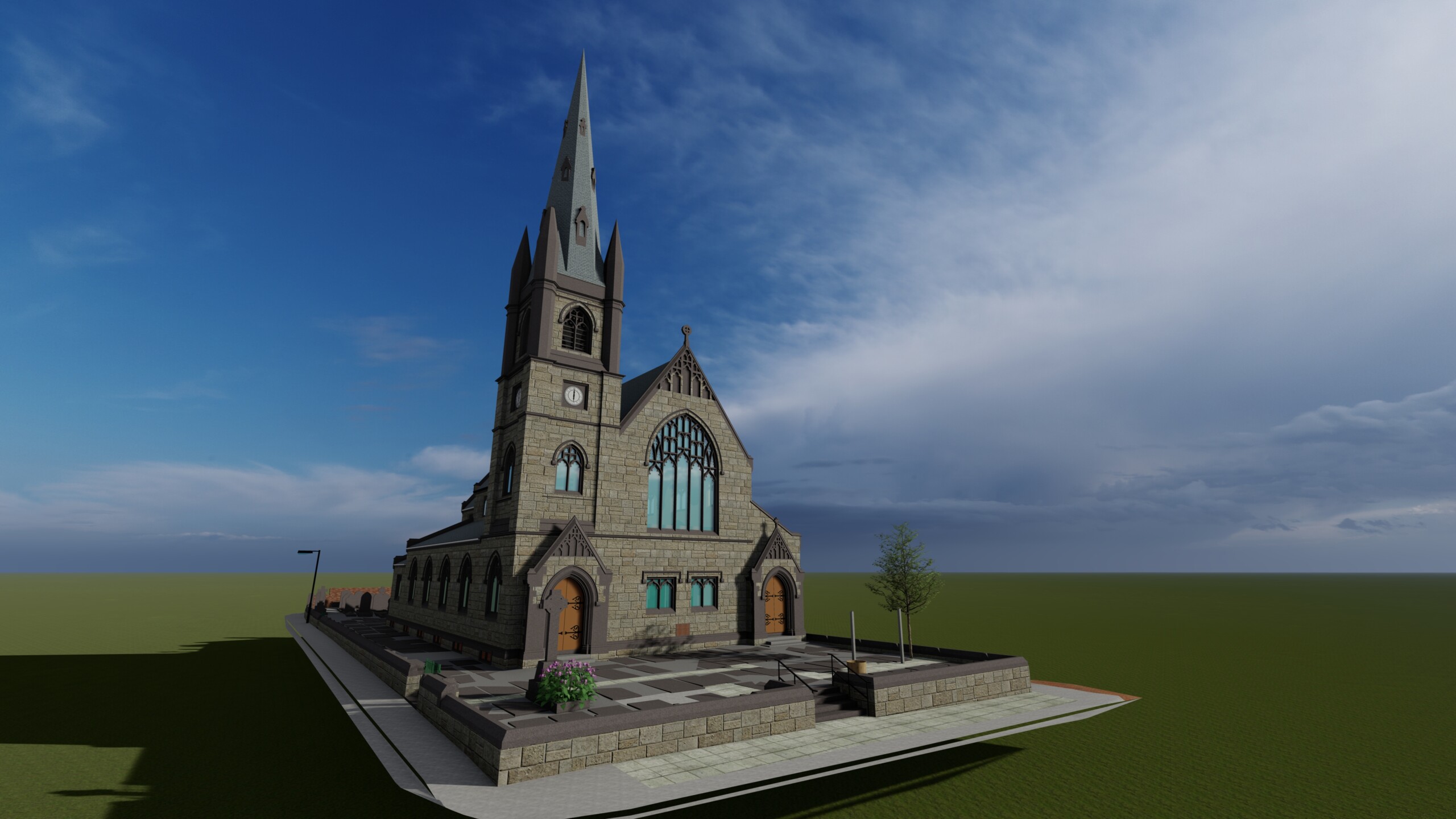
Find out moreBIM-Ready Survey Models
Take your project to the next level by including 3D deliverables from our survey company to your next project.
Find out more3D models of existing sites, buildings, detectable underground services and new developments.
Find out moreUAV / UAS / Drone Surveys
UAV/Drone Surveys commissioned anywhere in the United Kingdom.
Find out moreUsing the latest drones, we are now capable of remote data-capture in previously inaccessible areas, allowing us to provide an even more comprehensive dataset to our clients for their land surveys.
Find out moreRebar Location and Mapping
Accurate location and mapping of steel reinforcement bars and metal pipes.
Find out moreUsing Elcometer concrete inspection equipment our survey company can quickly and accurately measure the orientation and the depth of cover over reinforcement bars.
Find out moreUtility Record Searches
Utility Record Searches with no hidden disbursement charges. Express turnarounds and PDF 'FastView' uplift available.
Visit the portalOur Utilities Search Reports collate and outline features below the surface such as gas and oil pipelines, electricity cables, telecommunication wires, mains water supplies, sewers and fibre-optic cables.
Visit the portal
Other Services from Laser Surveys
CentemapsLive is all about being able to quickly find out about quality mapping & being able to cut out just the bit you need for immediate download.
Ordnance Survey MasterMap | Other OS Mapping | Aerial Imagery | Height & LiDAR Data | Historical Mapping | Environmental Reports
Search for your location > Select the product > Pay for your selected Map > Instant download.
Block Plans & Location Plans for Planning Applications. All our plans are Planning Portal and Local Authority Compliant.
Prices starting from just £10.
Serviced office space available in Malvern, Worcestershire.
Fully Services Office Space:
Leased Line Internet| Secure Entry & Intercom| 24/7 Access| Flexible terms| on site Parking | Private Data Network | Furnished or Unfurnished | Utilities and Rates included.